


One of the best things about Sydney is the sheer number of parks and bushland surrounding the harbour. On the city's fringes to the north, south and west, you'll also find a string of national parks that are less than an hour away.
Thanks to well marked trails and signposting, you don't need a guide or a compass to walk out to the waterfalls, eucalyptus forests and limestone formations that make up the landscape.
The walks range from hour long strolls to gruelling three day missions. The following 10 walking trails suit a variety of abilities and fitness levels.
Partner links: booking through them supports the blog at no extra cost to you.
Spit Bridge to Manly
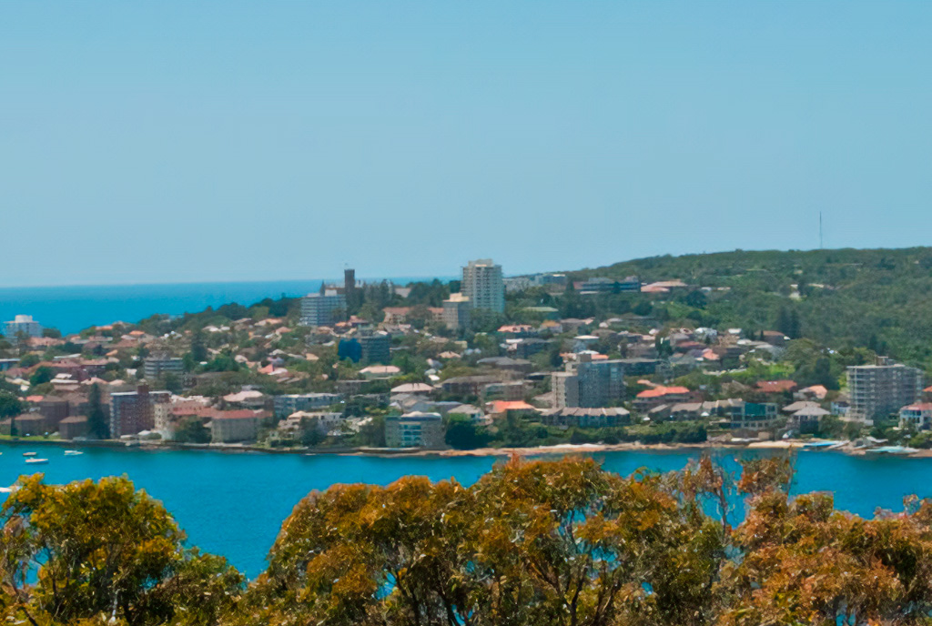
Distance and time: 9.1 kilometres, 3.5 to 4 hours
Difficulty level: Moderate
Transport: Public transport at both ends
The Spit to Manly walk is a classic trail on Sydney's northern beaches. It shows up in every guidebook and on almost every bucket list.
It's a well maintained path that takes in some of the finest views over Middle Harbour. If you have the time, the extra detours out to Grotto Point and the Arabanoo Lookout are absolutely worth the effort.
Along the way there are plenty of spots to grab a coffee, have a snack and take a dip. The trail finishes in cosmopolitan Manly, which also means a ferry ride back to the city to round off the trip.
Taronga Zoo to Balmoral Beach
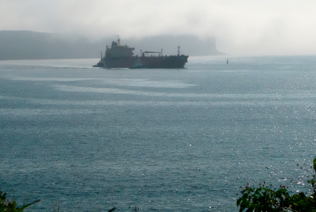
Distance and time: 6.8 kilometres, 2.5 to 3.5 hours
Difficulty level: Moderate
Transport: Public transport at both ends
Opening with views of the Opera House and the Harbour Bridge, this historic route leads you along beautiful bays to explore the fortifications at Bradleys Head and Chowder Bay, where the wonderful views keep coming.
There are a few places to eat along the way, along with plenty of lovely spots to enjoy a packed lunch of your own.
Tip: some sections of this trail are closed at night.
Hermitage Foreshore Walk
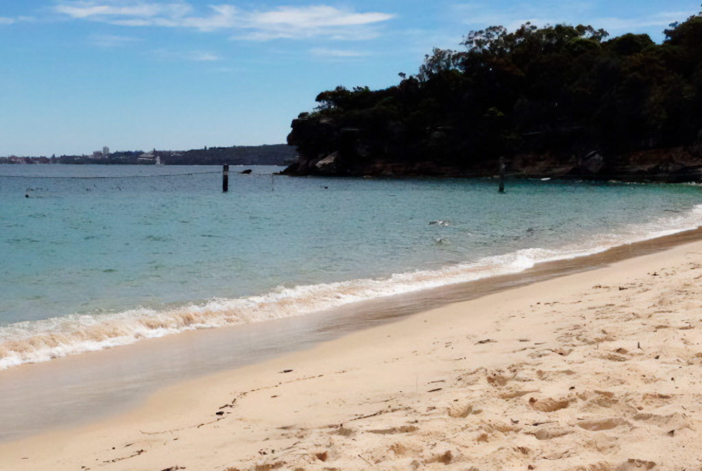
Distance and time: 2.2 kilometres, 45 minutes to 1 hour
Difficulty level: Easy
Transport: Buses near the start and end of the walk
Starting from the down to earth Nielsen Park in Vaucluse, this walk lets you take in Sydney Harbour from its southern shore.
You follow a narrow strip of bushland that hugs the coastline, calling in at a handful of secluded harbour beaches, so you can find a favourite patch of sand and dodge the crowded beaches this summer.
It also passes the historic Strickland House, which is now often used as a filming location.
A wonderful walk for soaking up history and natural beauty while enjoying a fresh perspective on the city.
Berowra to Cowan via Berowra Waters
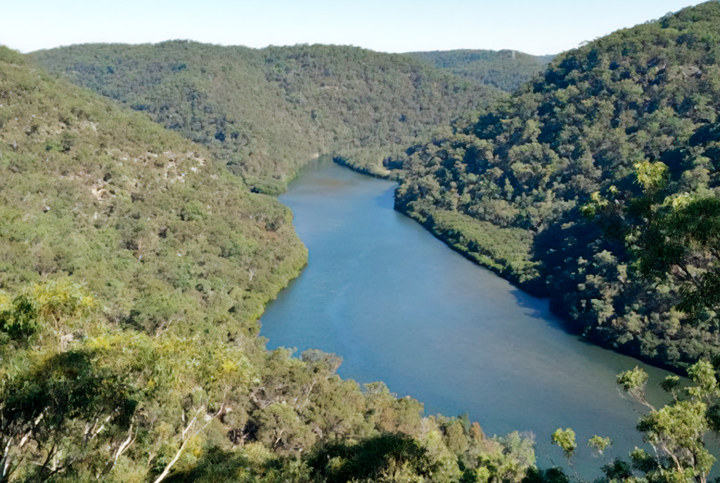
Distance and time: 12.9 kilometres, 6 hours
Difficulty level: Hard (there are several long, steep hills)
Transport: Train station at both ends of the trail
The Great North Walk, which runs from Sydney to Newcastle and is made up of many separate stages, is a mammoth 15 day, 260 kilometre trek for the truly determined.
That might be a bit much, but the 12.9 kilometre stretch from Berowra to Cowan explores a remote part of the Great North Walk. It follows the ridges and valleys around Berowra Waters, and the route opens up plenty of views along the way, especially from the Naa Badu Lookout (pictured), plus many creek side vantage points.
The trail also has some steep climbs, so allow yourself plenty of time. About halfway along, at Berowra Waters, you can take a short and pleasant (and free) trip on the car ferry across the river to a lovely spot for lunch and ice cream, before heading back on the ferry and carrying on with the walk.
Blue Gum Walk (Joe's Loop), Hornsby
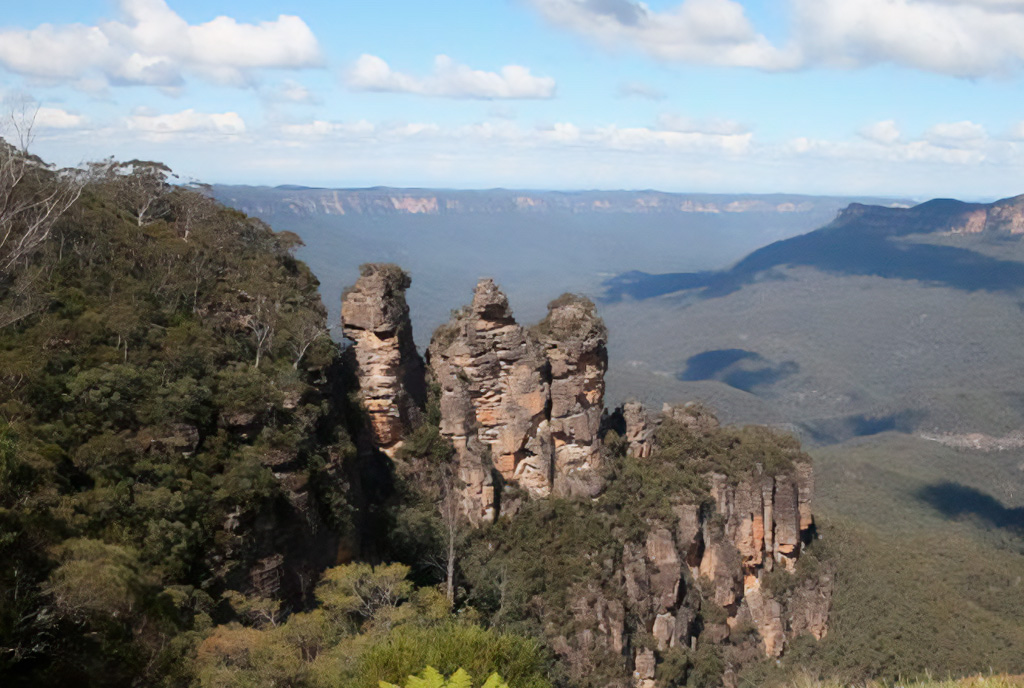
Distance and time: 4.2 kilometres, 1.5 to 2 hours
Difficulty level: Moderate (mostly flat, but with a few steep hills and a creek crossing)
Transport: You can drive there, or it's a one kilometre walk along the Great North Walk from Hornsby train station.
One of the prettiest, and surprisingly wild, walks, this route is considered one of Sydney's best kept walking secrets.
Although you start out in the suburbs, you quickly feel a million miles from civilisation as you enter the Blue Gum forest. The walk passes through different types of forest and by huge Angophora trees and large pools of water. Along the way you head upstream past a series of small cascades to cross Waitara Creek.
The suburbs feel a world away after just a few kilometres.
Gibberagong Track, Wahroonga
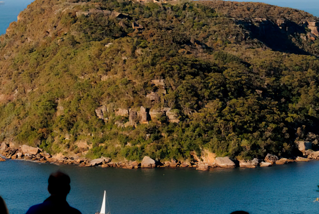
Distance and time: 6.5 kilometres, 2 to 3 hours
Difficulty level: Moderate (a few steep climbs and descents, plus a narrow track and creek crossings)
Transport: A bus will get you to the start of the walk, but you'll need to either arrange a pick up from Bobbin Head or keep walking along another lovely bush track to Mount Ku-ring-gai train station.
Sydney is blessed with many national parks, and Ku-ring-gai Chase National Park is another standout. This beautiful track begins in Wahroonga and follows Cockle Creek down to Bobbin Head, passing by lovely waterfalls that add a wonderful element to the adventure.
There are sections that pass through canyon like surroundings with steep cliffs and overhanging caves, while others cut through mangroves teeming with native wildlife.
This varied walk finishes near the popular picnic area and kiosk at Bobbin Head, a great place to rest at the end of the journey.
Royal National Park Coast Track
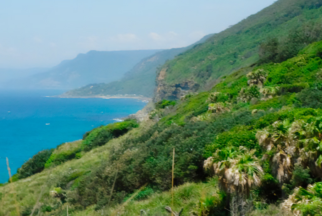
Distance and time: 27.4 kilometres, either one full day or two days with an overnight camp.
Difficulty level: Hard
Transport: Public transport at both ends
Exploring the coastline of the Royal National Park on Sydney's southern edge, this challenging walk delivers breathtaking sea views from the clifftops.
Running 27.4 kilometres from Bundeena to Otford, the track is well managed, with plenty of signposts to make sure you don't accidentally end up camping in the middle of the bush.
If you decide to go for the two day option, allow yourself enough time on the second day, as the steep climbs make it longer than it looks. Fit and experienced walkers will likely knock it out in a single day, provided they start early.
But whichever way you tackle it, the views are stunning and there are plenty of chances to stop and take a dip along the way.
Lady Carrington Drive
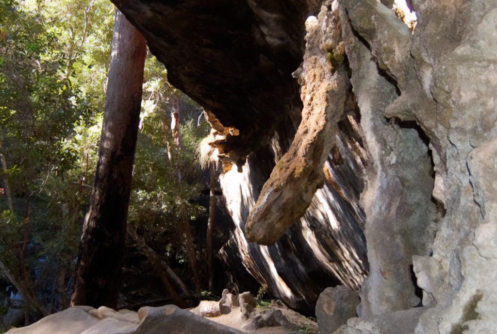
Distance and time: 9.7 kilometres, 3.5 to 4 hours
Difficulty level: Easy/Moderate (one of the longest flat bush walks)
Transport: There's no public transport, so you'll need to arrange a lift or allow enough time to walk back.
This former road is now closed to traffic, which makes it an ideal route for hikers and mountain bikers to explore the Drive as it runs alongside the Hacking River.
As you take in the sights of the Royal National Park, you'll come across natural sandstone formations and plenty of historic features. Along the way, stop in at Palona Cave (a large limestone overhang) near Palona Brook.
Henry Head Loop
Distance and time: 7.4 kilometres, 3 hours
Difficulty level: Moderate
Transport: A bus stops near the start of the walk
What makes this walk interesting is that you can explore not just Sydney's natural history, but its botanical beauty too.
As you wander through Botany Bay National Park, you pass by gun emplacements and observation posts that were used during both world wars.
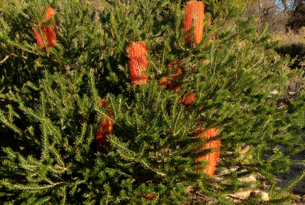
There's also a section featuring an endangered native Banksia, named after Captain Cook's botanist Joseph Banks, which was once a far more prominent feature of the Sydney region.
National Pass: Overcliff and Den Fenella Loop
Distance and time: 5 kilometres, 3 to 4 hours.
Difficulty level: Hard
Transport: Bus or on foot from Wentworth Falls station
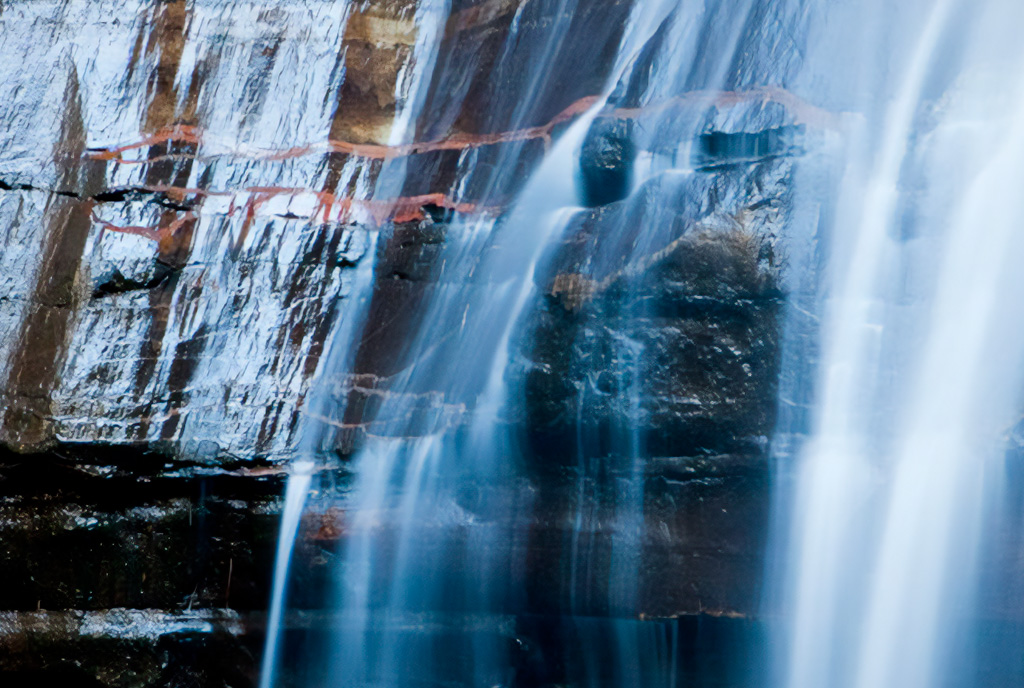
Wentworth Falls is a stunning place for a walk, and you'll see that for yourself on this route, which explores waterfalls, cliff edges and jaw dropping lookouts.
It also involves plenty of steps, so you'll need to be in good shape and comfortable with heights.
The historic National Pass was recently restored to let walkers explore the Falls, along with the other water features nearby.
There's an optional side trip to the Conservation Hut for lunch before you loop back to the start via the Overcliff and Den Fenella tracks. A brilliant way to take in the majestic views of the Blue Mountains.