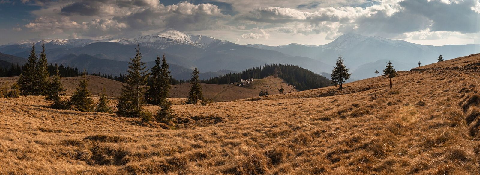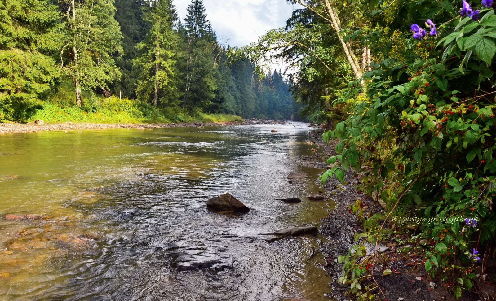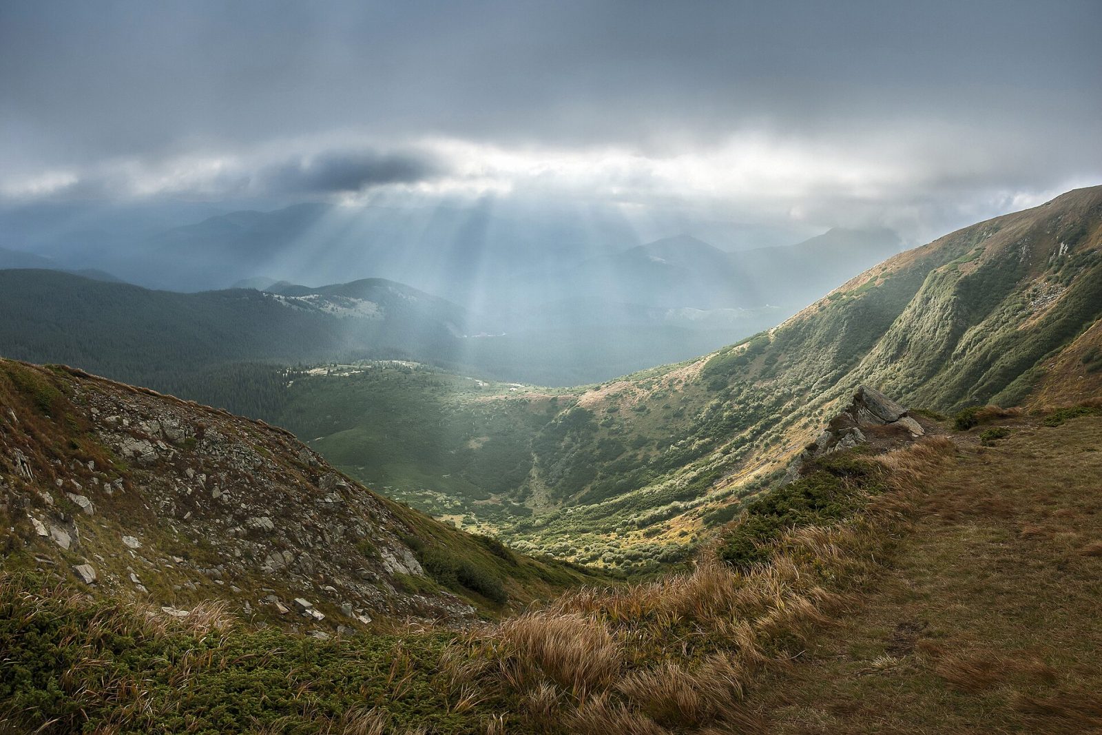


Carpathian National Nature Park is the first protected park of its kind in Ukraine (established in 1980) and the easiest way to see Hoverla, the country's highest mountain. It lies in the Ivano-Frankivsk region, and it is from here, from the Zaroslyak tract, that most ascents of the 2,061-metre peak begin. Now the specifics: entry, the road, the season, and who the route is not suited for.
What Carpathian National Nature Park is and why it is the first
The park was created by a government decree on 3 June 1980, and it was the first territory in Ukraine to hold the status of a national nature park rather than a strict reserve. The difference is a practical one: tourists are allowed in along marked trails here, whereas in a strict reserve entry is closed. The land was carved out of the Carpathian Reserve.
Its area is about 50.5 thousand hectares in the Verkhovyna and Nadvirna districts. This is where the Prut and the tributaries of the Chornyi Cheremosh rise, spruce old-growth forests grow, and above the treeline stretch the high mountain meadows known as polonynas.
How much does entry to Carpathian National Nature Park cost?
Entry is paid, but the sum is symbolic: the ecological education fee stays at the level of a few dozen hryvnias per adult and half that per child. It is a contribution toward the upkeep of the trails and the work of the rescue service, paid in cash at the checkpoint before you set off. The park revises its rates, so check the figure on site before your trip. The fee does not cover transport from the checkpoint, an overnight stay at the base, or a guide, so budget for those separately.
| Item | Reference |
|---|---|
| Status and year | First national nature park of Ukraine, since 1980 |
| Region | Ivano-Frankivsk (Verkhovyna and Nadvirna districts) |
| Main peak | Hoverla, 2,061 m, the highest point in the country |
| Starting point for Hoverla | Zaroslyak tract, roughly 1,400 m |
| Trail to the summit | About 10.5 km one way, roughly 5 hours of walking |
| Entry | Ecological education fee, a few dozen hryvnias |
How to get to the park and to Zaroslyak
The main base towns are Yaremche and Vorokhta. Both have a direct rail connection from Ivano-Frankivsk, which is easy to reach by train or bus from Kyiv and Lviv.
From Vorokhta you need to climb higher still, up to the Zavoiely tract, where the checkpoint of the Hoverlyanske forestry stands. From there a forest road of about 8 km leads to the Zaroslyak training and sports base, the classic departure point for Hoverla. You can cover it in your own car, but the surface is mountainous and rutted after rain. Without a car, take a transfer on site or a tour to the base. Zaroslyak lies at roughly 1,400 metres, which leaves a little over 600 to the summit, so people spend the night here before an early start.
Routes: not only Hoverla
The classic is the ecological education trail to Hoverla: about 10.5 km, five hours of walking. Technically it is not difficult, with no rock or ropes, but it is an ascent of almost a kilometre in the vertical, and the final third runs across an open slope.
If one day is not enough, from Zaroslyak you can string together two-day loops via Lake Nesamovyte, one of the highest-lying lakes in the Ukrainian Carpathians, at an altitude of about 1,750 metres. In all, the park has several dozen trails of varying difficulty, from easy forest walks near Yaremche to traverses of the Chornohora ridge.
- For beginners: Zaroslyak and the trail to Hoverla in a single day, with an overnight at the base the evening before.
- For the more experienced: the Hoverla loop plus Lake Nesamovyte over two days with a tent.
When to go, and when it is better to hold off
The most reliable window for the climb is late June, July, August, and early September: warm, with a dry trail. The downside is obvious, at the peak of the season on weekends Hoverla is crowded, so do not expect the romance of a solitary summit.
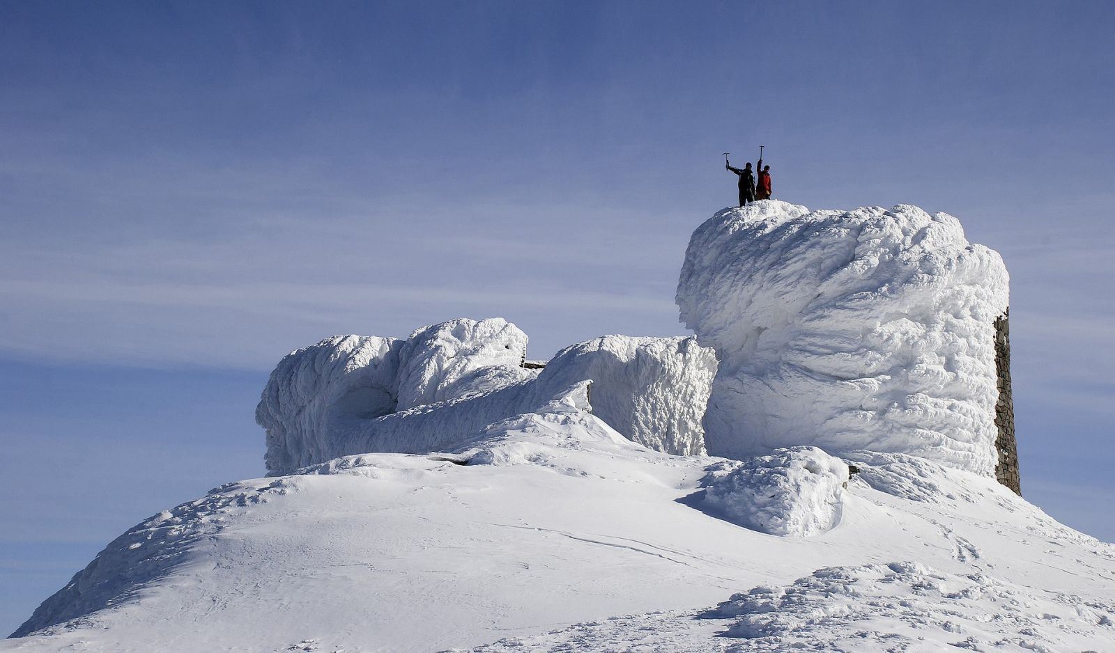
Autumn gives the cleanest air and golden beeches below, but after mid-September the first snow already appears on the tops. A winter ascent is no longer a walk but a ski tour or mountaineering: going up Hoverla in winter without experience and a guide is dangerous, and every year rescuers pull people off the slopes who underestimated the weather.
Who this route is not suited for
Those counting on a beach pace. Even the simple trail to Hoverla means five hours up and back, with elevation changes and wind. Reaching the summit with small children is hard, but the lower forest trails near Yaremche are family friendly.
What to take on Hoverla
The weather in Chornohora changes fast, so a membrane jacket is needed even in July, and footwear should be trekking only. Bring water and a snack with you, there are no kiosks on the trail. Set off early so that you descend before the afternoon clouds gather. And register with the rescue service at the checkpoint: reception drops out on the slopes.
If you are in the Carpathians for the first time, take the classic: an overnight at Zaroslyak and Hoverla in a single day. If the summit is already behind you, aim for the loop with Lake Nesamovyte or the farther trails of the Chornohora ridge, where there are fewer people and the mountains are the same.